
A living 3D Earth
A hybrid-satellite globe with real elevation and 3D buildings. Pan, pinch, rotate and pitch from whole-planet down to a single street — with cinematic fly-to that arcs high for the long hops.
PlanetEar layers real public data over a cinematic 3D Earth — aircraft overhead, satellites and the ISS, earthquakes and weather — then lets you zoom all the way out to a real Solar System. Free, and private by architecture.
A dozen ways to explore — every one powered by free, openly-licensed public data, rendered natively and privately on your device.
A hybrid-satellite globe with real elevation and 3D buildings. Pan, pinch, rotate and pitch from whole-planet down to a single street — with cinematic fly-to that arcs high for the long hops.
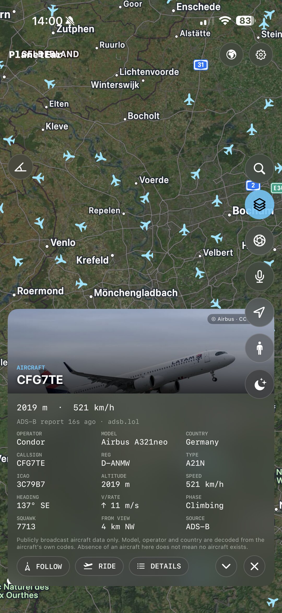
Publicly broadcast ADS-B positions from the volunteer adsb.lol network — heading markers, smooth glide between pings, a military filter, and honest freshness labels. Follow one, or ride along.
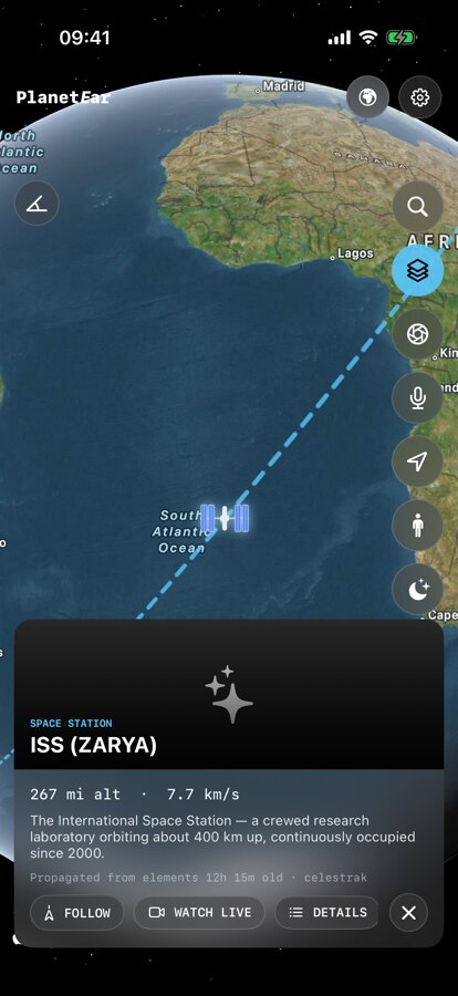
CelesTrak orbital elements, propagated on-device with a validated SGP4 engine — find and follow the ISS and satellites in real time. Plus a Space Now hub: who’s in orbit, the Moon’s phase, space-weather, launches and the latest Earth-from-space image.
USGS earthquakes with magnitude and time filters, plus NASA EONET natural events — wildfires, volcanoes, storms and ice — mapped worldwide as they happen.
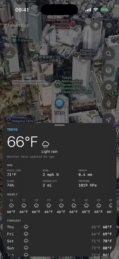
Current conditions, an hourly view and a 7-day forecast for any place you tap — powered by Open-Meteo — or just ask for it out loud.
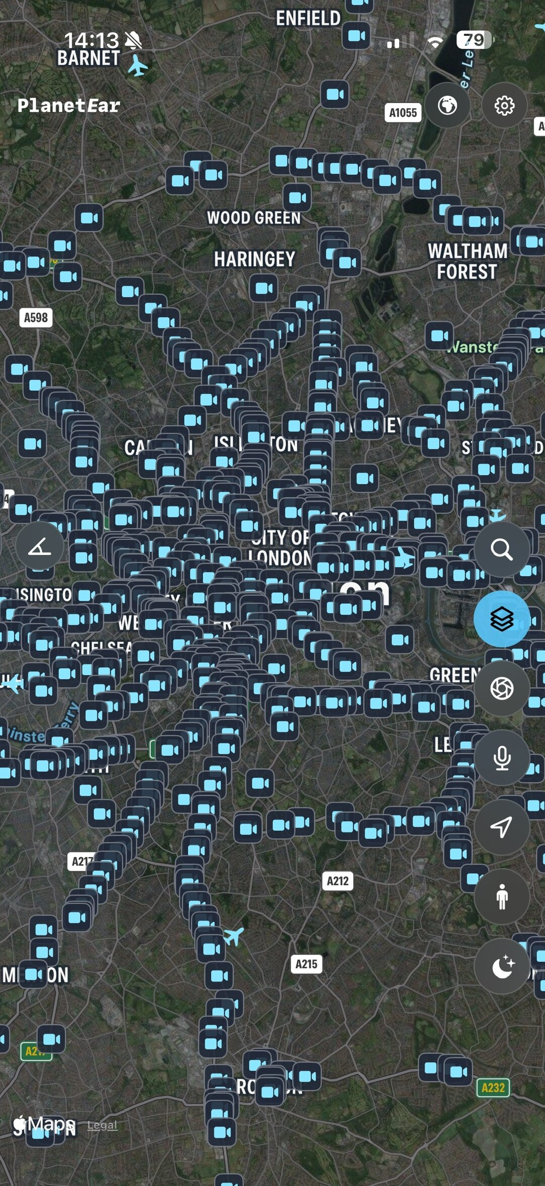
London and California traffic cameras — live streams, looping clips and refreshed stills — plus Apple’s street-level Look Around wherever it has coverage. Drop right down to eye level.
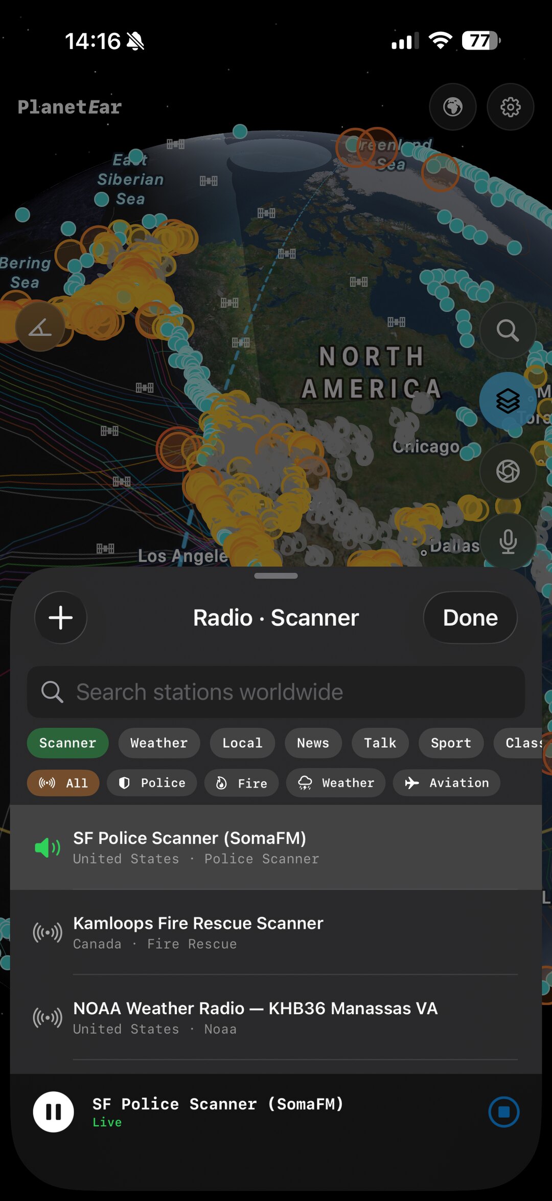
Scanner feeds, NOAA weather radio and thousands of internet stations via RadioBrowser — or paste your own stream. Local stations follow the map as you travel.
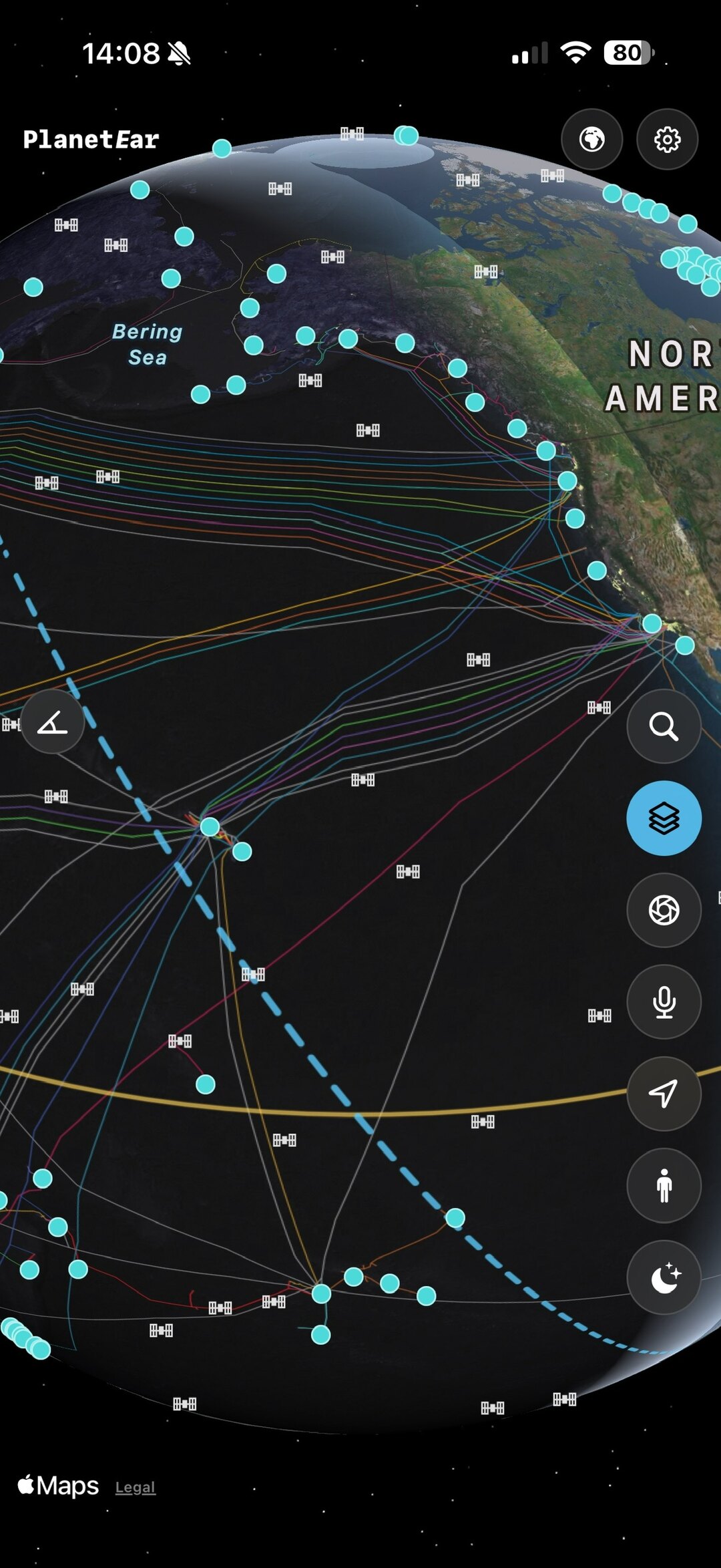
The layers other apps forget: live amateur-radio APRS stations, public bikeshare docks in covered cities, and the submarine cables that carry the internet beneath the sea.
Hold your phone up and PlanetEar overlays the real sky — the Sun, Moon and planets, plus the ISS and satellites passing overhead — computed on-device from the compass and motion sensors. No signal required.
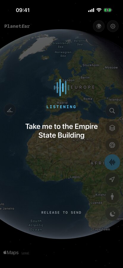
“Take me to the Empire State Building.” “Circle around it.” “Find the ISS.” A deterministic on-device parser — no LLM, no cloud round-trip — turns speech into camera moves. Everything works by touch too.
A SceneKit Solar System from JPL Keplerian elements — real orbits, the Moon, Saturn’s rings — with a time engine from real-time up to a year per second. Watch a week of orbits in a breath.
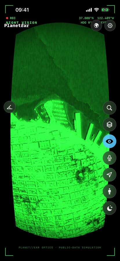
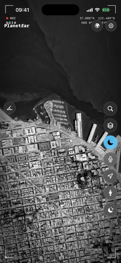
Flip the live map into Noir, Night Vision or CRT — cinematic optics with a heads-up display of your heading, coordinates and range. Because it should look as good as it feels.
Real captures from the app — from orbit to the Solar System, in a tap.
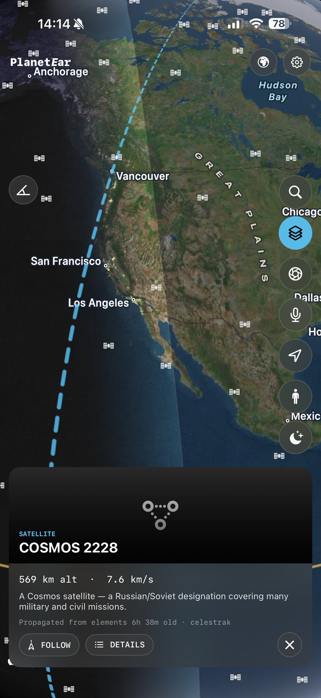
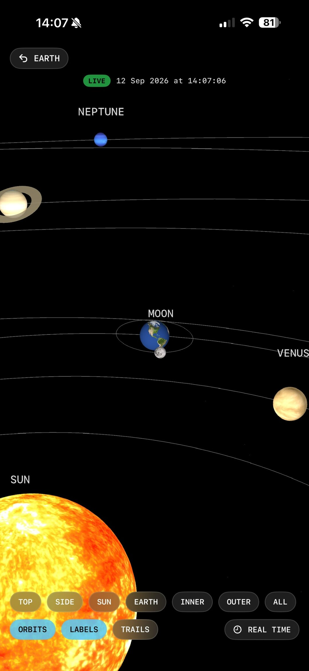
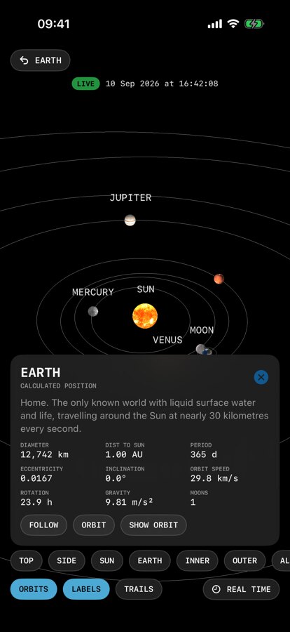
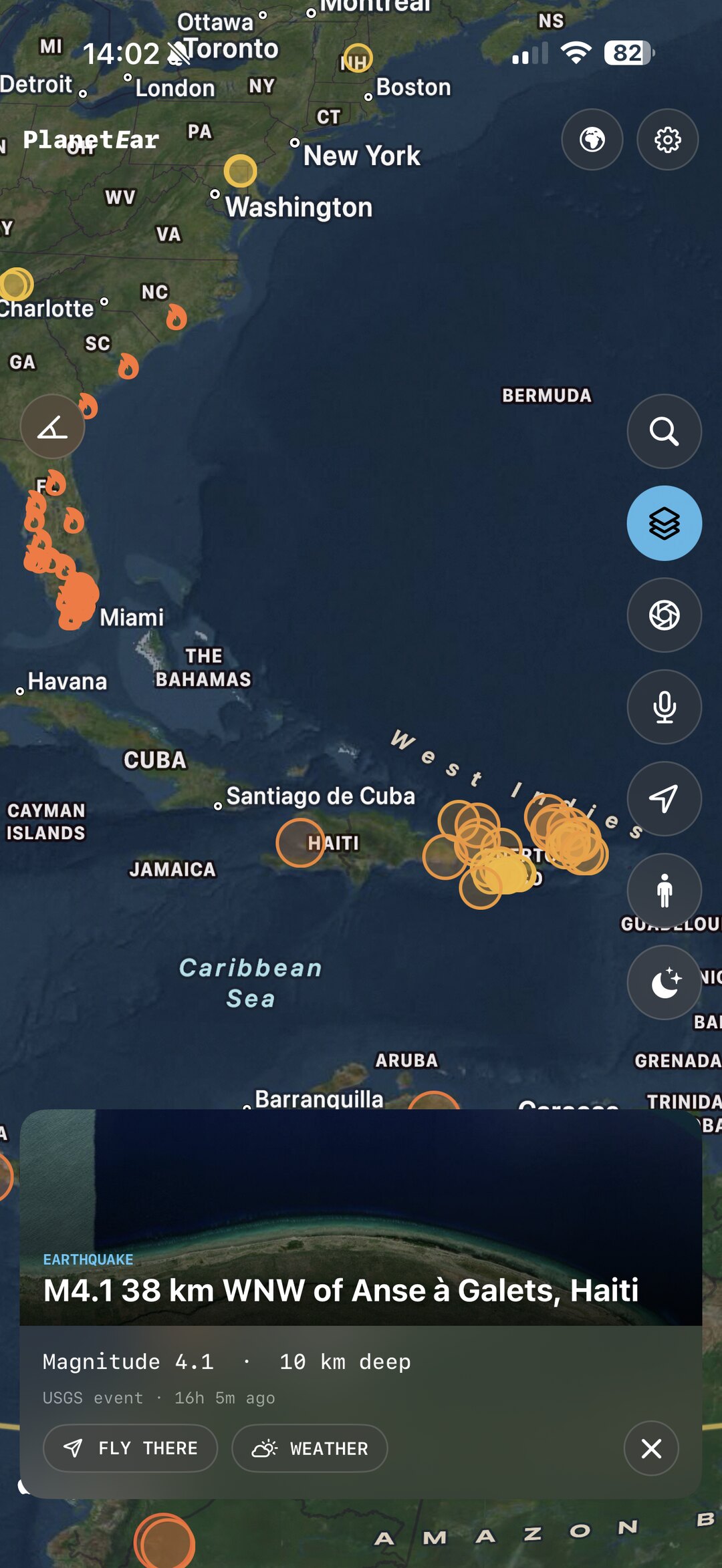
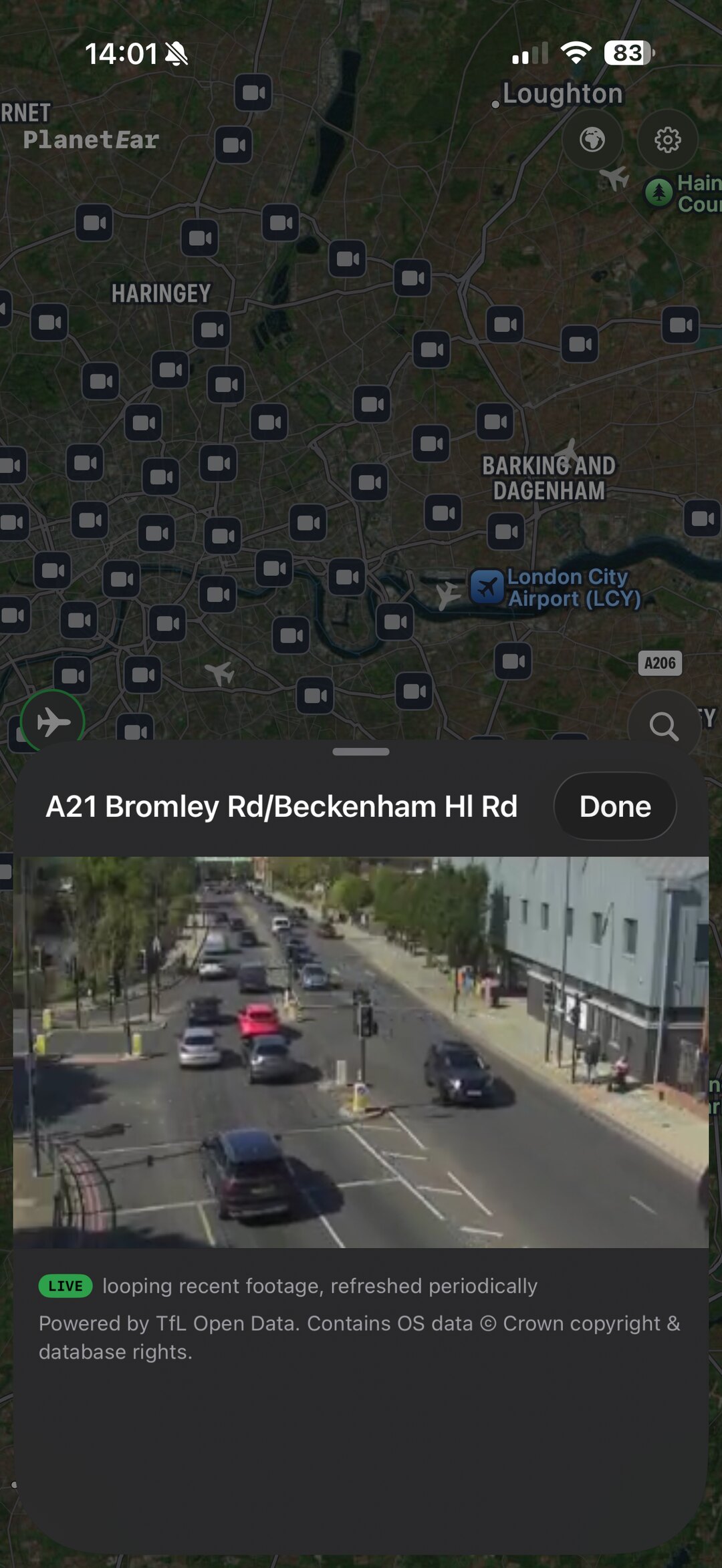
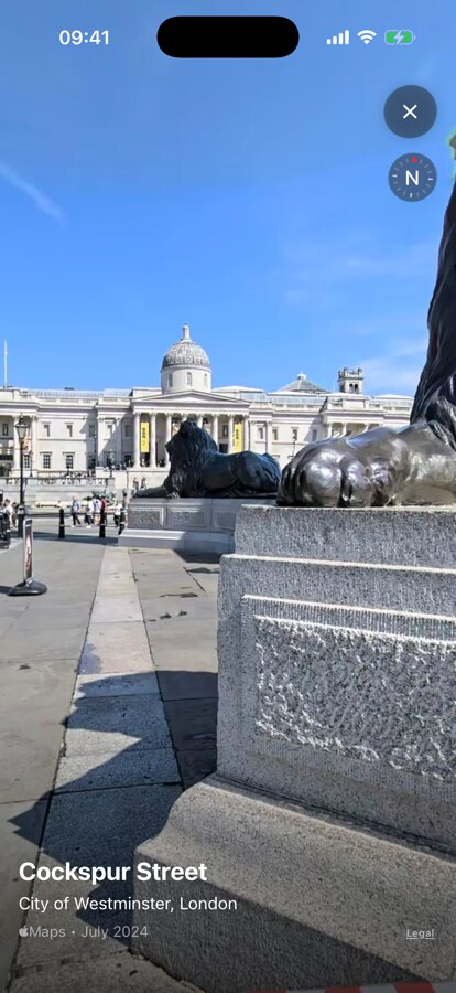
From London’s streets to California’s freeways — motorway gantries, junctions and seafronts — streamed straight onto your globe. Live feeds, looping clips and refreshing stills. Free, keyless, no sign-up.
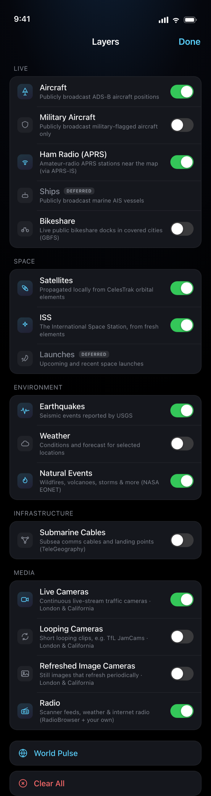
Aircraft and the ISS. Earthquakes and wildfires. Traffic cameras and street-level Look Around. Internet radio and scanners, ham-radio beacons, bikeshare docks — even the submarine cables that carry the internet under the sea. Every layer is free and keyless.
Flip on exactly what you want, or hit World Pulse to light up the essentials in a single tap.
PlanetEar has no backend, no account, no analytics and no advertising SDKs. Nothing you search, say or look at is collected — because there is nowhere for it to go. Requests for map tiles, aircraft or weather go straight to each provider over HTTPS, carrying no identifier. Everything else stays on your iPhone.
No API keys are baked in and none are asked of you. Each source is credited in-app under Settings → Data & Attribution.
Free on the App Store. No account, no keys, nothing to configure — just open it and fly.
Coming soon to the App Store.